Distinguishing Atmospheric Heat from Ground Furnace Limits
Pinpointing the single hottest location on our planet requires establishing a clear physical distinction between two ambient heat metrics: shade air temperature and direct land surface temperature. While weather stations standardly measure ambient air roughly five feet off the ground, satellite thermal sensors calculate the actual infrared heat radiated directly by the soil itself.

| Location | Country / Region | Measurement Type | Record Metric | Source / Method |
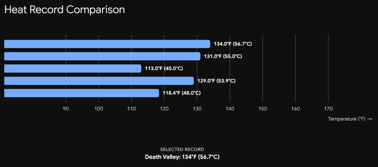
| Death Valley (Furnace Creek) | California, USA | Ambient Air (Shade) | 134.0°F (56.7°C) | WMO Official Station |
| Lut Desert (Dasht-e Lut) | Iran | Land Surface (Soil) | 159.3°F (80.8°C) | NASA Aqua MODIS Satellite |
| Sonoran Desert | Mexico / USA | Land Surface (Soil) | 159.3°F (80.8°C) | NASA Thermal Radiometer |
Death Valley: The Air Temperature Titleholder
Furnace Creek in California’s Death Valley holds the World Meteorological Organization (WMO) official record for the highest atmospheric air temperature ever recorded on Earth. On July 10, 1913, the mercury inside a standardized, shaded weather instrument shelter registered at 134°F (56.7°C).
While some modern meteorologists debate the precision of early 20th-century instruments, Death Valley routinely validates its furnace-like reputation in the contemporary era. In August 2020 and July 2021, verified modern sensors recorded 130.0°F (54.4°C) under strict modern meteorological standards.
Four primary geographic factors converge to create Death Valley’s intense atmospheric thermal trap:
- Extreme Sub-Sea-Level Elevation: Furnace Creek sits 282 feet (86 meters) below sea level, where high atmospheric pressure compresses descending air, forcing it to heat up further.
- Deep Basin Geometry: Narrow, steep mountain chains encircle the valley floor, trapping hot air masses and recycling them back down toward the ground.
- Zero Vegetation and Dark Soil: Dry, rocky terrain absorbs solar radiation rather than evaporating moisture, converting nearly 100% of incoming sunlight into sensible radiant heat.
The Lut Desert: Where the Earth’s Crust Bakes
Shift the measurement from shade air to direct soil temperature, and Death Valley gives way to eastern Iran’s Lut Desert (Dasht-e Lut).
Because vast swaths of hyper-arid deserts lack surface weather stations, NASA scientists utilize thermal radiometers aboard Earth-observing satellites (such as the MODIS instrument on the Aqua satellite) to evaluate planetary surface heat skin temperatures.
Over multiple orbital passes, satellite data revealed that dark volcanic rock across the Lut Desert reached a blistering ground surface temperature of 159.3°F (80.8°C). At these temperatures, the desert floor glows with enough thermal energy to cause severe contact burns instantly.
Why Albedo and Soil Composition Dictate Surface Records
Air temperature stays relatively uniform over miles, but ground surface heat fluctuates wildly based on surface composition and color (albedo). Light-colored quartz sand reflects solar rays, whereas dark volcanic basalt rock absorbs solar energy at high efficiency.
In the Lut Desert, dark Gandom Beryan—a 180-square-mile plateau covered in dark volcanic lava rocks—acts as a massive black heat sink. Coupled with zero cloud cover and near-zero relative humidity, the soil absorbs solar energy throughout the day without any evaporative cooling mechanism, making it the most extreme physical heating pad on the planet.
Thermal Archives & Meteorological Citation Sources
- World Meteorological Organization (WMO) World Weather & Climate Extremes Archive
- NASA Earth Observatory: MODIS Land Surface Temperature Data Analysis
- Bulletin of the American Meteorological Society: Evaluating Extreme Surface Heat Measurements