
The Country Narrow Enough to See Two Oceans From the Same Hilltop
A Sliver of Land Between Two Enormous Bodies of Water
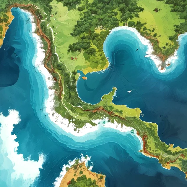
Several countries technically touch both the Atlantic and Pacific Oceans, but few illustrate that dual coastline as dramatically, or as consequentially, as Panama. The country forms a narrow, S-shaped isthmus connecting North and South America, and at its narrowest point, the distance between the Caribbean Sea, part of the greater Atlantic basin, and the Pacific Ocean shrinks to roughly fifty kilometers, narrow enough that on a clear day from certain elevated points, it's genuinely possible to catch glimpses of water belonging to two entirely different oceans without traveling very far at all.
Why This Narrow Strip Became Globally Significant
This geographic quirk would have remained a mostly local curiosity if not for one obvious, tantalizing implication, a narrow land bridge separating two oceans is also, potentially, the shortest possible route connecting them, provided someone could actually build a way through. That idea, cutting a passage directly through Panama's isthmus rather than forcing ships to sail all the way around the southern tip of South America, became one of the most ambitious engineering pursuits in modern history, eventually resulting in the Panama Canal, a project that transformed global shipping and cemented Panama's outsized importance in international trade despite the country's relatively small physical size.
Two Oceans, Two Very Different Coastlines
Panama's Pacific and Atlantic-facing coastlines aren't just separated by geography, they carry genuinely different characteristics shaped by their distinct oceanic environments. The Caribbean coastline tends to feature calmer waters, coral reefs, and a climate heavily influenced by Caribbean weather patterns, while the Pacific coastline experiences different tidal ranges, generally rougher surf conditions, and a noticeably different ecological makeup along its beaches and coastal waters. Ships transiting the canal actually experience a real, measurable difference in sea level between the two oceans, the Pacific side runs slightly higher than the Atlantic side on average, a detail canal engineers had to account for directly when designing the system of locks needed to raise and lower ships during transit.
The Continental Divide Runs Directly Through the Country
Because Panama sits on a genuine continental divide, separating drainage basins that flow toward entirely different oceans, rainfall falling on one side of certain interior ridges eventually makes its way to the Atlantic, while rain falling just a short distance away on the opposite slope flows instead toward the Pacific. This divide played a direct, practical role in the canal's engineering as well, since the entire system relies on capturing and redirecting freshwater from Panama's interior, particularly from Gatun Lake, a massive artificial lake created specifically to supply the water needed to operate the canal's lock system and maintain a navigable channel across the isthmus.
Not the Only Country With This Distinction, But Among the Most Compact
Panama isn't unique in having coastlines on both oceans, countries including the United States, Canada, Mexico, and Colombia also touch both the Atlantic and Pacific in various ways, some through extensive continental coastlines stretching thousands of kilometers between their two ocean-facing regions. What sets Panama apart is the sheer compactness of the arrangement, in most other transcontinental coastline countries, traveling between the two oceans by land requires crossing enormous distances, sometimes thousands of kilometers. In Panama, that same crossing can realistically happen within a single day's drive, a detail that made the country geographically irresistible as a shipping shortcut long before modern engineering made building an actual canal technically feasible.
A Geography That Shaped Centuries of History
Panama's dual-ocean position has drawn outside interest for centuries, well before the canal itself existed. Spanish colonizers recognized the isthmus's strategic value early on, using it as an overland transport route for goods, including significant quantities of silver and gold extracted from South America, moved across the narrow land bridge rather than shipped entirely around the continent. This same strategic geography later drew intense international interest from multiple world powers throughout the 19th and early 20th centuries, culminating in the canal's eventual construction, completed in 1914 after an earlier, ultimately failed French attempt, and the canal has remained one of the most heavily used and economically significant shipping routes in the world ever since.
A Country Defined by What Sits on Either Side of It
Panama's identity, economically, historically, and geographically, is inseparable from its position wedged directly between two oceans, a relatively narrow strip of land that happened to sit in exactly the right place to become one of the most strategically valuable pieces of territory on the planet. It's a rare example of a country whose entire modern significance on the world stage traces back almost directly to a simple fact of geography, two enormous oceans, and an unusually thin, well-positioned strip of land sitting patiently between them, waiting for someone to figure out how to connect them properly.