
The City Where "Bridge and Tunnel" Isn't Just Slang, It's the Whole Layout
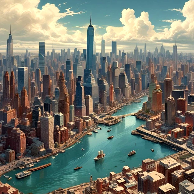
Say "New York City" and most people picture Manhattan's skyline, packed streets, and the general sense of one continuous, sprawling urban mass. What that image tends to obscure is a much stranger geographic reality underneath, New York isn't really one connected landmass at all, it's a collection of islands and a small mainland section, stitched together through an enormous, constantly used network of bridges and tunnels that most residents cross daily without giving the underlying engineering much conscious thought.
Manhattan itself, the borough most people associate most strongly with the city's identity, is an island, bounded by the Hudson River to the west, the East River to the east, and the Harlem River to the north. Staten Island, one of the city's five boroughs, is separated from the rest of the city entirely by water, reachable primarily by ferry or a long bridge crossing. Even Brooklyn and Queens, both situated on Long Island geographically, are functionally separated from Manhattan by the East River, requiring their own dedicated crossings to connect with the rest of the city. Only the Bronx sits on the actual North American mainland, connected by land rather than water, making it something of a geographic outlier among the five boroughs.
This fragmented geography created an enormous infrastructure challenge as the city grew from a relatively modest colonial settlement into one of the largest, most densely populated urban centers in the world. Connecting these separate landmasses into something that could function as a single, cohesive metropolitan area required building an extensive, continuously expanding network of bridges and tunnels, each solving a slightly different practical problem depending on the specific waterway, traffic demand, and available engineering technology at the time it was constructed.
The Brooklyn Bridge, completed in 1883, remains one of the most historically significant and visually iconic pieces of this network, connecting Manhattan and Brooklyn across the East River and standing, at the time of its completion, as the longest suspension bridge in the world, an engineering achievement that fundamentally reshaped how effectively the two boroughs could interact and grow together as connected urban centers rather than separate, more isolated communities. Its construction involved considerable risk and genuine human cost, and it remains, well over a century later, both a functioning piece of critical transportation infrastructure and a widely recognized symbol of the city itself.
Tunnels solve a different set of engineering and practical challenges compared to bridges, particularly useful in situations where a waterway's shipping traffic requires unobstructed passage above, where weather conditions like ice or high winds make above-water crossings less reliable, or where a bridge simply isn't structurally or logistically practical given the specific crossing distance and depth involved. The Lincoln Tunnel and Holland Tunnel both carry substantial vehicle traffic underneath the Hudson River, connecting Manhattan directly to New Jersey, while numerous subway tunnels running beneath the East River carry the overwhelming majority of daily commuter traffic between Manhattan and Brooklyn or Queens, moving far more people on a daily basis than road-based bridge and tunnel crossings combined, given how heavily New York's daily commuting population relies on subway infrastructure specifically.
This physical fragmentation has shaped New York's cultural identity in ways that go well beyond pure engineering trivia too. The phrase "bridge and tunnel," while sometimes used somewhat dismissively by longtime Manhattan residents to describe visitors or commuters arriving from other boroughs or nearby states, actually reflects a genuine, deeply embedded aspect of how the city physically functions, nearly everyone living in or regularly visiting the city experiences some version of crossing a bridge or passing through a tunnel as a completely routine part of daily movement through the metropolitan area, regardless of which specific borough or neighborhood they call home.
Maintaining this extensive network represents an enormous, ongoing infrastructure commitment, requiring continuous inspection, maintenance, and periodic major renovation across dozens of aging bridges and tunnels, some dating back well over a century, all while carrying an almost incomprehensible daily volume of vehicle, subway, and pedestrian traffic that the city's original 19th and early 20th century engineers could scarcely have imagined when these structures were first designed and built.
It's a useful reminder that even a city as thoroughly built up and densely urbanized as New York remains, at its core, fundamentally shaped by the water running through and around it. Manhattan's famous street grid and towering skyline can make the city feel like one seamless, continuous landmass, but underneath that impression sits a genuinely fragmented geography, held together only through a massive, constantly maintained web of bridges and tunnels quietly doing the structural work of making a collection of separate islands function, day to day, as a single unified city.