
The Capital City Where the Danube Splits Into a Quiet Second Life
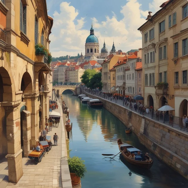
Which national capital is located on the banks of both the Danube River and several smaller historic waterways?
Mention the Danube and most people picture postcard shots of Budapest, its parliament building glowing gold at night along the riverbank. But Budapest isn't the only capital built around this river, and it's not the city with the most interesting relationship to it either. That distinction arguably belongs to Vienna.
Vienna sits on the Danube, yes, but the river you actually see if you're strolling through the city center usually isn't the main channel at all. It's the Donaukanal — the Danube Canal — a narrower, calmer offshoot that was engineered centuries ago to control flooding and give the city a manageable waterway closer to its historic core. The real, wide Danube flows a bit further out, almost like Vienna kept the postcard-friendly version close and pushed the industrial-scale river to the outskirts.
Then there's the Wien River, the smaller waterway that actually gave the city its name. It's easy to overlook because much of it has been channeled underground or tucked beneath parks and boulevards as the city expanded, but it once served as a critical trade and transport route, and its banks are where a lot of Vienna's earliest settlements took root. Walk along the Naschmarkt, one of the city's most famous open-air markets, and you're essentially walking on top of a river that's been rerouted beneath your feet.
This layered relationship with water isn't accidental. Vienna's location was chosen and shaped over centuries specifically because of its access to multiple waterways — the Danube for long-distance trade connecting it to the Black Sea and beyond, and the smaller rivers and canals for local commerce, milling, and flood management. During the Habsburg era, engineers spent enormous effort regulating these waters, since the untamed Danube used to flood unpredictably and had a habit of shifting its course entirely, which made city planning a nightmare for centuries.
The major regulation project came in the 1870s, when Vienna undertook a massive engineering effort to straighten and control the main Danube channel, pushing it away from the city center and creating the more predictable canal system that exists today. That project essentially gave Vienna two rivers where it used to have one unruly one — a main channel for commerce and a tamer canal for city life.
Today, the Donaukanal has become one of Vienna's more surprising cultural hotspots. What used to be a purely functional waterway is now lined with street art, pop-up bars, cycling paths, and riverside cafés that fill up the moment the weather turns warm. It's a strange contrast: a few kilometers away, the real Danube carries barge traffic and commercial shipping, while in the city center, locals are sipping coffee next to a canal that exists purely because 19th-century engineers decided Vienna needed to tame its rivers rather than be at their mercy.
So when someone says a capital sits on the Danube, Vienna is the answer that comes with an asterisk — because underneath the famous river narrative is a quieter story of smaller waterways, underground rivers, and centuries of engineering that shaped how the city actually breathes.